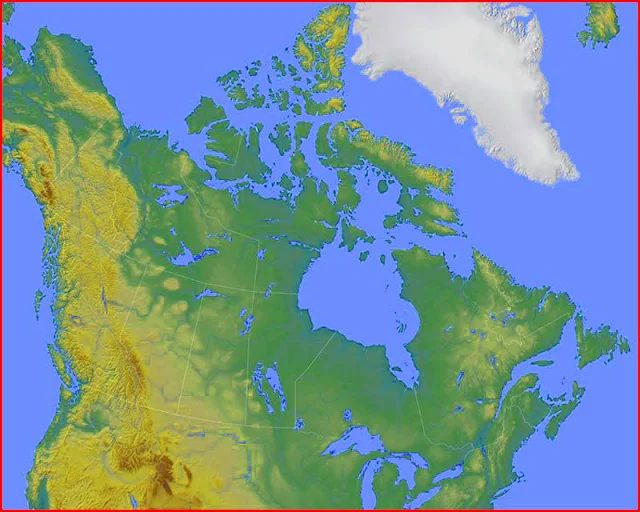
Canada Map Provinces and Cities
Canada, historically known as the Dominion of Canada, is the northernmost country in North America. The area of Canada is 9,970,610 square kilometers. Canada is classified as a developed country and its economy depends mainly on the availability of abundant natural products.
The capital city of Canada is the Ottawa national parliament place, the residence of the Governor General and the Prime Minister. It is a federation of 10 provinces and 3 territories with a decentralized system and a government in the form of constitutional monarchy. Formed in 1867 with the Confederation law
Canada is a former colony of France and Great Britain. Canada is a member of La Francophonie and the Commonwealth. Canada is the largest country in North America.
Canada Map of Provinces
Provinces in Canada: Alberta, Nunavut, British Columbia, Ontario, Manitoba, Prince Edward Island, New Brunswick, Quebec, Newfoundland and Labrador, Saskatchewan, Northwest Territories, Yukon Territory, Nova Scotia
Canada Bordering Countries: United States, Greenland
Regional Maps: Map of North America, World Map
Map Location
Black and white Map
Important city of Canada: Alert, Brandon, Calgary, Cambridge Bay, Charlottetown, Churchill, Dartmouth, Dawson, Echo Bay, Edmonton, Flin Flon, Fort Nelson, Fredericton, Gander, Halifax, Hamilton, Happy Valley Goose Bay, Hay River, Inuvik, Iqaluit, Lethbridge, London, Medicine Hat, Montreal, Moose Jaw, Moosonee, Prince Albert, Prince George, Prince Rupert, Quebec, Rankin Inlet, Red Deer, Regina, Resolute, Saint John's, Saskatoon, Schefferville, Sherbrooke, Sydney, Toronto, Vancouver, Victoria, Watson Lake, Whitehorse, Winnipeg and Yellowknive.


