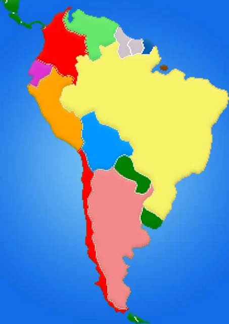
South America Map Countries
South America is a continent in the Southern America, with small portion in the Northern Hemisphere. It may also be considered a subcontinent of the Americas. South America is bordered on the west by the Pacific Ocean and on the north and east by the Atlantic Ocean, North America and the Caribbean Sea lie to the northwest.
It includes twelve sovereign states: Argentina, Bolivia, Brazil, Chile, Colombia, Ecuador, Guyana, Paraguay, Peru, Suriname, Uruguay, and Venezuela, a part of France (French Guiana), and a non-sovereign area (the Falkland Islands, a British Overseas Territory though this is disputed by Argentina).
It includes twelve sovereign states: Argentina, Bolivia, Brazil, Chile, Colombia, Ecuador, Guyana, Paraguay, Peru, Suriname, Uruguay, and Venezuela, a part of France (French Guiana), and a non-sovereign area (the Falkland Islands, a British Overseas Territory though this is disputed by Argentina).
Map of South America
Countries in South America
| Argentina | Guyana |
| Bolivia | Paraguay |
| Brazil | Peru |
| Chile | Suriname |
| Colombia | Uruguay |
| Ecuador | Venezuela |
| French Guiana |
Regional Map: World Map
Map Location
Blank Map Color
Important city of South America: Cartagena, Maracaibo, Caracas, Maturin, Merida, Cucuta, Georgetown, Paramaribo, Medellin, Manizales, Bogota, Cayenne, Ibague, Cali, Quito, Belem, Guayaquil, Manaus, Sao Luis, Cuenca, Fortaleza, Teresina, Recife, Lima, Salvador, Cuiaba, Brasilia, La Paz, Goiania, Cochabamba, Santa Cruz, Sucre, Belo Horizonte, Londrina, Rio De Janeiro, Sao Paulo, Salta, Asuncion, Curitiba, San Miguel de Tucuman, Porto Alegre, Cordoba, Santa Fe, Rosario, Valparaiso, Santiago, Buenos Aires, Montevideo, Concepcion, Mar del Plata.


